
Social studies
Oregon Trail Geography Lesson: Rivers, Plains & Mountain Passes, Grades 5-8
Price on TPT: $3.99
Buy Oregon Trail Geography Lesson: Rivers, Plains & Mountain Passes, Grades 5-8 on TPT (Teachers Pay Teachers, opens a new tab)
You'll buy and download it on Teachers Pay Teachers. It opens in a new tab.
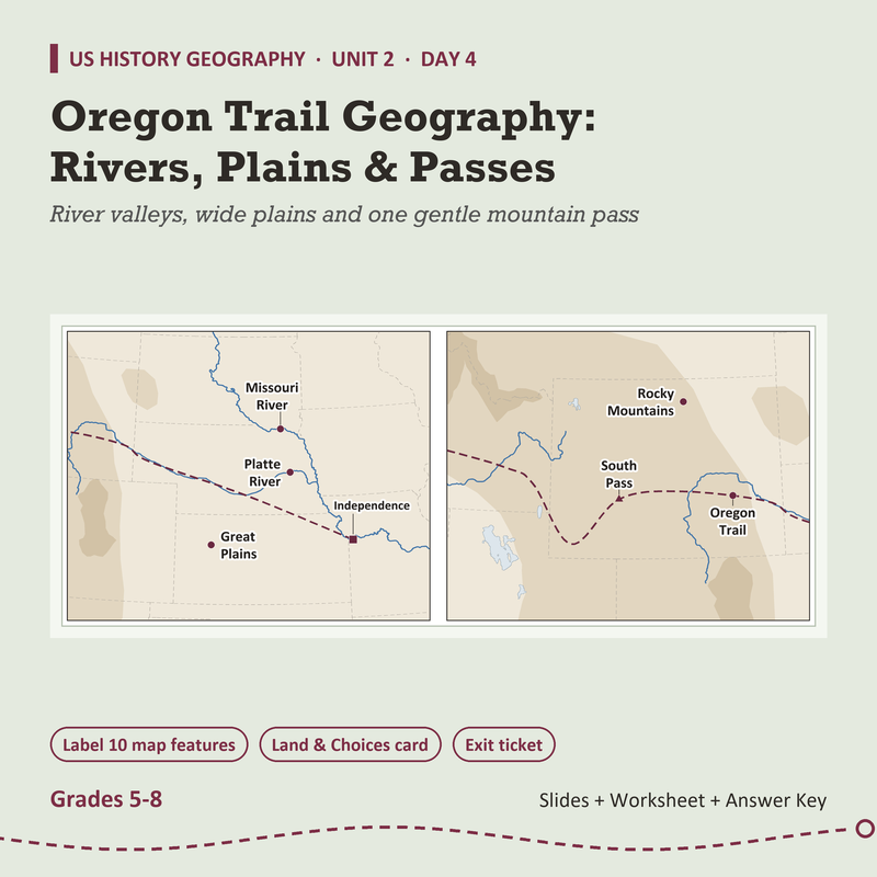
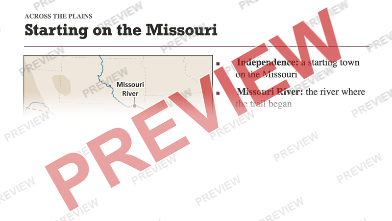
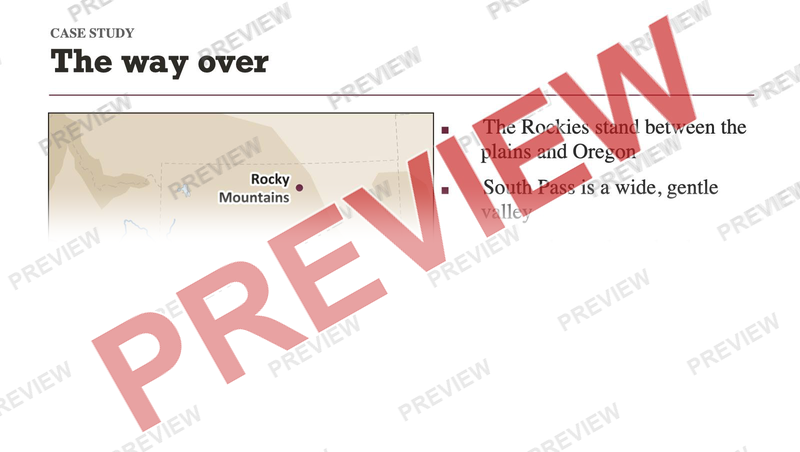
Why did the Oregon Trail bend to one gentle pass in the Rockies? This lesson answers it with a map. Students find Independence on a map of the country, then learn ten features on a Natural Earth map: Independence, the Missouri, Platte, Snake, Columbia and Willamette Rivers, the Great Plains, South Pass, the Rocky Mountains and the Oregon Trail itself.
What's inside
- 16 slides, with speaker notes on all 16
- Lesson plan, 2 pages
- Student worksheet, 2 pages
- Answer key, 1 page
Answer key included
Want this for a different grade? Request a lesson
More in Social studies
-
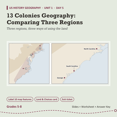
13 Colonies Geography Lesson: Comparing Three Regions, Grades 5-8
$3.99 on TPT
-
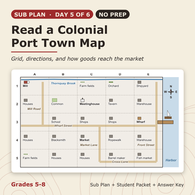
13 Colonies Sub Plan (No Prep): Read a Colonial Port Town Map, Grades 5-8
$3.99 on TPT
-
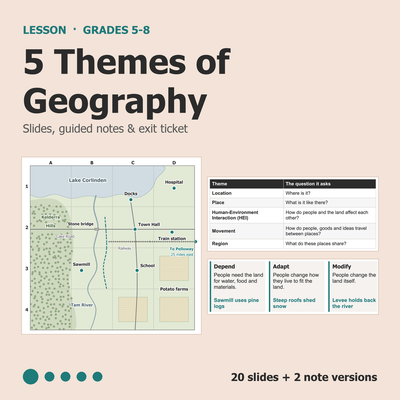
5 Themes of Geography Lesson: Slides, Notes & Worksheet, Grades 5-8
$3.99 on TPT
-
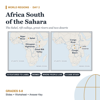
Africa Geography Lesson: Africa South of the Sahara, Grades 5-8
$3.99 on TPT


