
French Explorers Geography Lesson: St. Lawrence to the Mississippi, Grades 5-8
Price on TPT: $3.99
You'll buy and download it on Teachers Pay Teachers. It opens in a new tab.
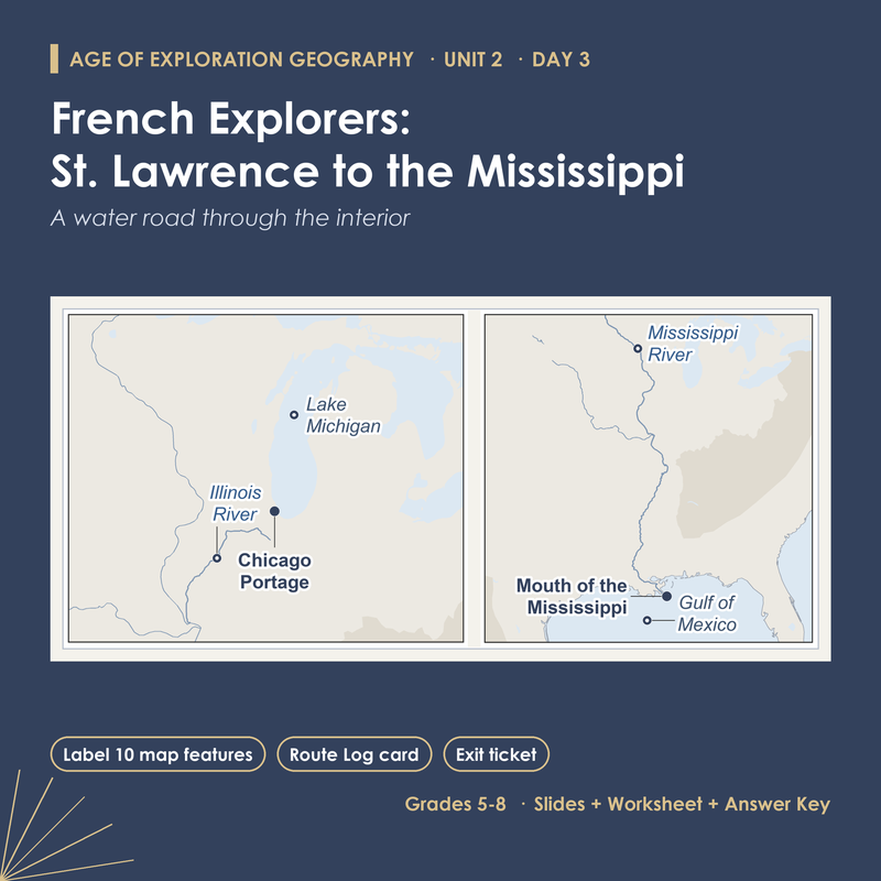
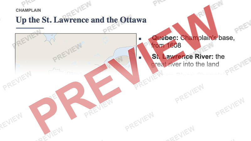
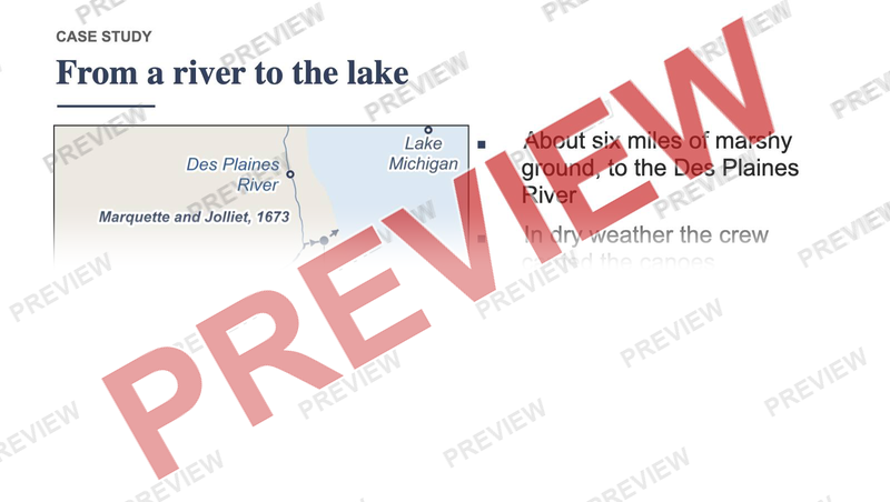
How did French explorers cross the middle of North America in canoes? Rivers and lakes made a water road through the interior, and a short carry between them joined the St. Lawrence to the Mississippi. Students find Quebec and the Gulf of Mexico on a world map, then follow Champlain, Marquette and Jolliet, and La Salle leg by leg and learn ten features: Quebec, the St. Lawrence River, the Ottawa River, Lake Huron, Lake Michigan, the Chicago Portage, the Illinois River, the Mississippi River, the Gulf of Mexico and the mouth of the Mississippi.
What's inside
- 15 slides, with speaker notes on all 15
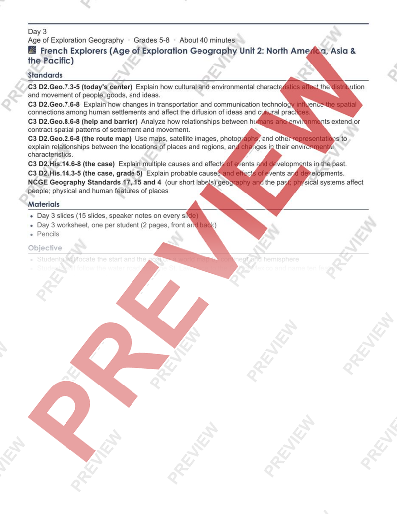
- Lesson plan, 2 pages
- Student worksheet, 2 pages
- Answer key, 1 page
Answer key included
Want this for a different grade? Request a lesson
More in Social studies
-
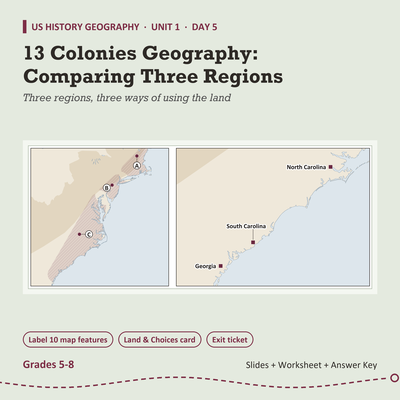
13 Colonies Geography Lesson: Comparing Three Regions, Grades 5-8
$3.99 on TPT
-
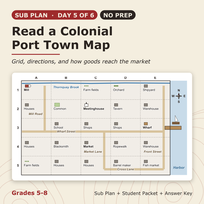
13 Colonies Sub Plan (No Prep): Read a Colonial Port Town Map, Grades 5-8
$3.99 on TPT
-
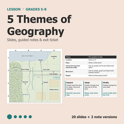
5 Themes of Geography Lesson: Slides, Notes & Worksheet, Grades 5-8
$3.99 on TPT
-
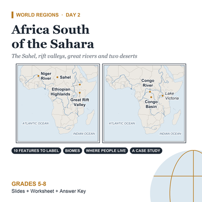
Africa Geography Lesson: Africa South of the Sahara, Grades 5-8
$3.99 on TPT


