
Social studies
Columbus Geography Lesson: Crossing the Atlantic to the Caribbean, Grades 5-8
Price on TPT: $3.99
Buy Columbus Geography Lesson: Crossing the Atlantic to the Caribbean, Grades 5-8 on TPT (Teachers Pay Teachers, opens a new tab)
You'll buy and download it on Teachers Pay Teachers. It opens in a new tab.
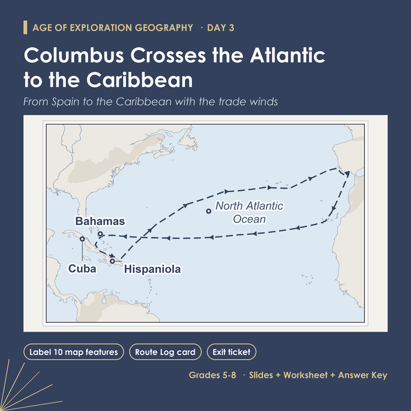
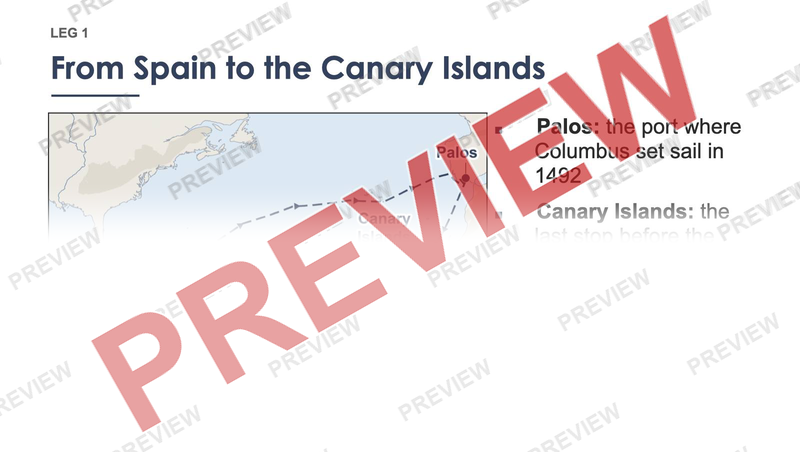
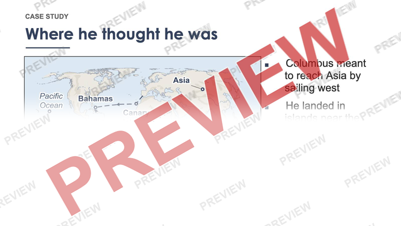
Why did Columbus start from the Canary Islands, and why did he think he had reached Asia? The answers are on the map. Students find Palos and San Salvador on a world map, then follow the voyage leg by leg and learn ten features: Palos, the Canary Islands, the trade winds, the North Atlantic Ocean, the Bahamas, Cuba, Hispaniola, the Caribbean Sea, the westerlies and the Azores.
What's inside
- 15 slides, with speaker notes on all 15
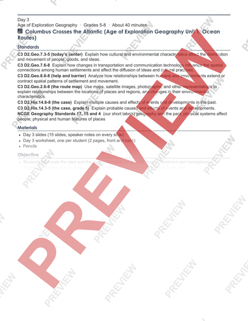
- Lesson plan, 2 pages
- Student worksheet, 2 pages
- Answer key, 1 page
Answer key included
Want this for a different grade? Request a lesson
More in Social studies
-
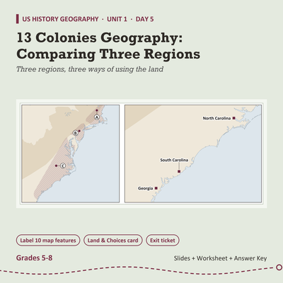
13 Colonies Geography Lesson: Comparing Three Regions, Grades 5-8
$3.99 on TPT
-
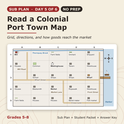
13 Colonies Sub Plan (No Prep): Read a Colonial Port Town Map, Grades 5-8
$3.99 on TPT
-
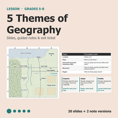
5 Themes of Geography Lesson: Slides, Notes & Worksheet, Grades 5-8
$3.99 on TPT
-
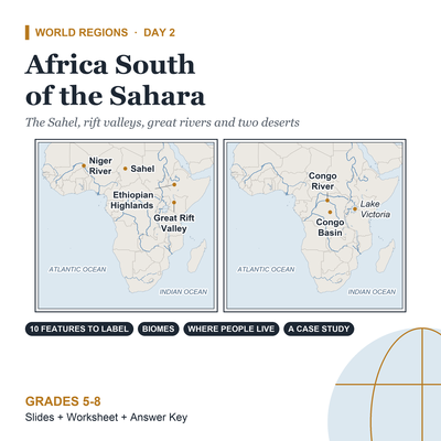
Africa Geography Lesson: Africa South of the Sahara, Grades 5-8
$3.99 on TPT


