
Social studies
Byzantine Empire Geography Lesson: Constantinople & the Straits, Grades 5-8
Price on TPT: $3.99
Buy Byzantine Empire Geography Lesson: Constantinople & the Straits, Grades 5-8 on TPT (Teachers Pay Teachers, opens a new tab)
You'll buy and download it on Teachers Pay Teachers. It opens in a new tab.
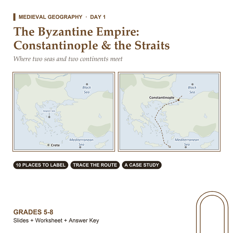
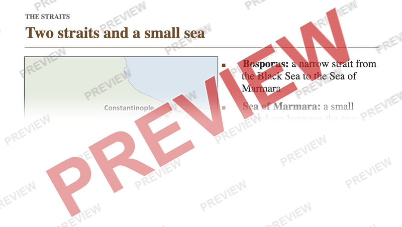
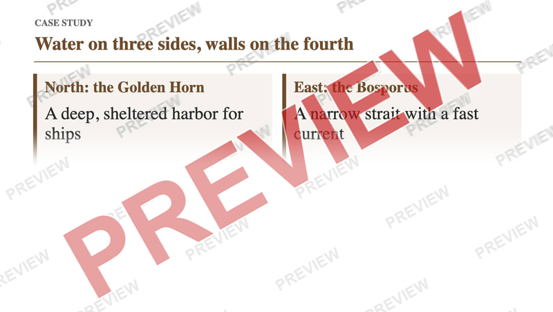
Why did one city sit on a narrow strait between two seas and two continents? This Byzantine Empire geography lesson puts Constantinople on a real map and asks students to trace the sea road from the Black Sea to the Mediterranean and say what it joined. It is a ready-to-print medieval geography lesson with slides, a map worksheet and an answer key.
What's inside
- 15 slides, with speaker notes on all 15
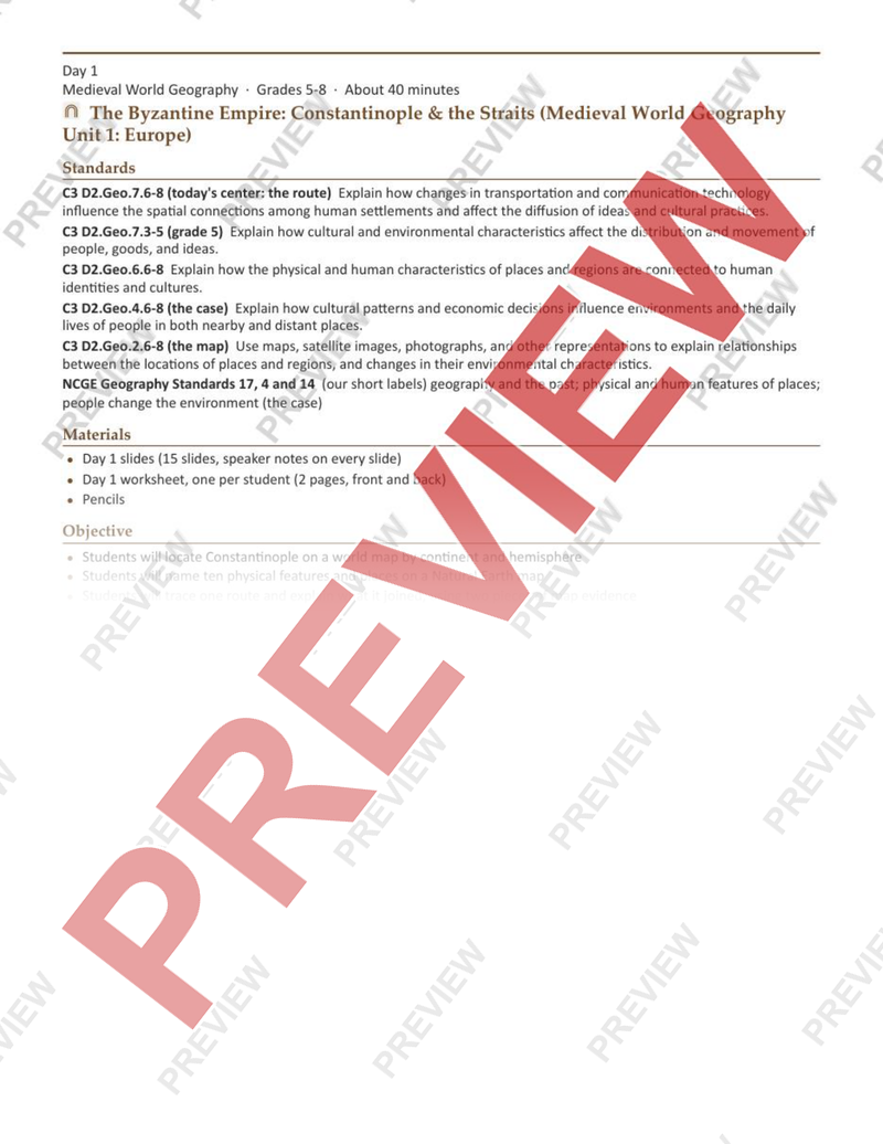
- Lesson plan, 2 pages
- Student worksheet, 2 pages
- Answer key, 1 page
Answer key included
Want this for a different grade? Request a lesson
More in Social studies
-
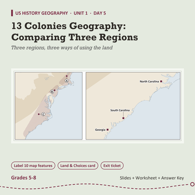
13 Colonies Geography Lesson: Comparing Three Regions, Grades 5-8
$3.99 on TPT
-
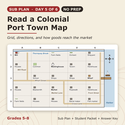
13 Colonies Sub Plan (No Prep): Read a Colonial Port Town Map, Grades 5-8
$3.99 on TPT
-
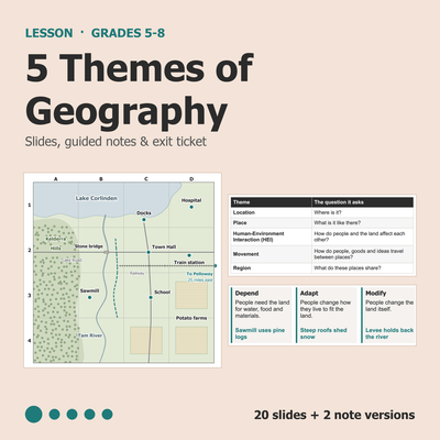
5 Themes of Geography Lesson: Slides, Notes & Worksheet, Grades 5-8
$3.99 on TPT
-
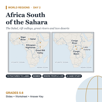
Africa Geography Lesson: Africa South of the Sahara, Grades 5-8
$3.99 on TPT


